Bergen -Belsen Illustrated Development 1935 - Present Day
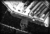 This section illustrates the developement of Bergen-Belsen from 1935 in map form according to available information. Each phase of the camp's developement has been broken down to illustrate the changes as the years passed. Additionally, each map has a photographic layer enabling you to view parts of the camp, if available, at that time.
I have also supplied a tool that enables you to construct your own detailed mapping at will. This mapping consists of many layers including buildings, roads, guard towers, water supply, mass graves, memorials and defined camp areas.